Spatial Plan

Scan. Annotate. Share. In real-time
Spatial Plan, the most advanced solution for real-time inspections
No more slow inspections, paper surveys, or scattered notes.
With Spatial Plan, you can digitize any environment in minutes for precise, interactive, and collaborative inspections, powered by the capabilities of spatial computing.
Spatial Plan is the professional application developed by dilium, designed to revolutionize inspections, site visits, and technical maintenance.
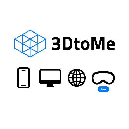
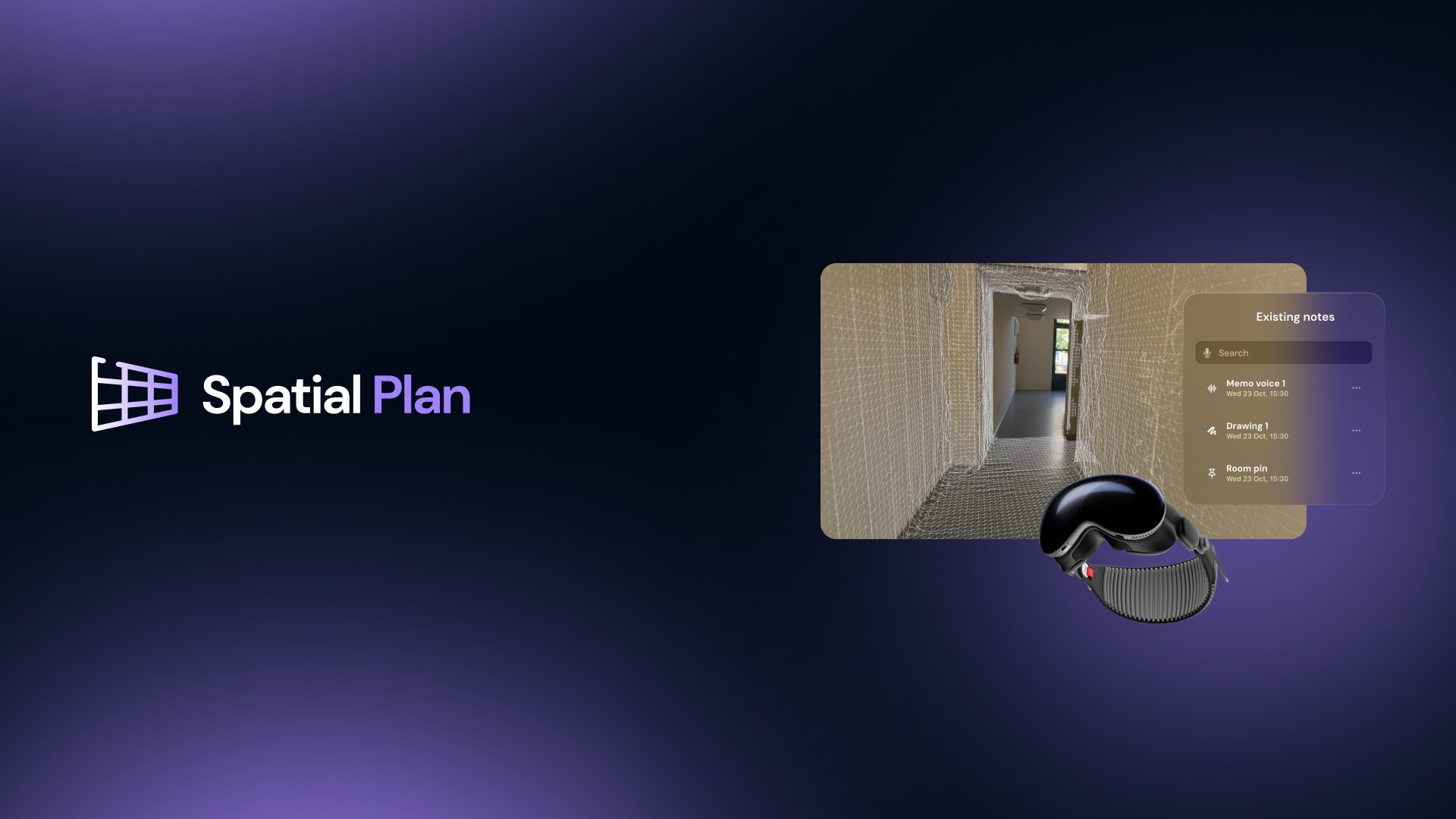
Just walk through a physical space and Spatial Plan transforms it into a navigable 3D model in real time, where notes and comments can be added directly within the virtual environment, using proprietary technologies 3DtoMe and Spatial Drawing.
Full control as you move
During the inspection, users can highlight critical elements, flag areas for intervention, or document issues by placing annotations directly on the 3D model.
All information is recorded with precision and can be shared with the team or integrated into business workflows.
Features that make the difference
- Real-time scanning
Wearing Apple Vision Pro, you can scan the environment simply by walking through it. The 3D model builds itself automatically. - Immersive annotations
Notes and comments can be added directly onto the 3D model during the inspection. Annotations remain precisely anchored to their corresponding point in the virtual space. - Instant collaboration
The annotated model can be shared in seconds, improving communication between technicians, clients, and stakeholders. - Operational precision
Spatial Plan reduces surveying time and enhances the accuracy of reports. Every detail can be reviewed and documented remotely. - Multi-platform experience
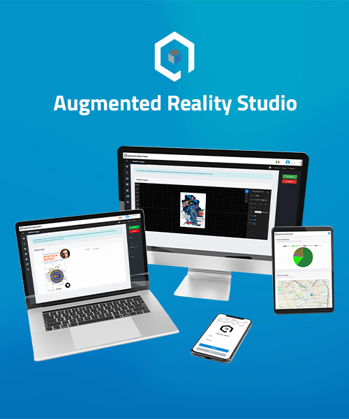
The app is available on Apple Vision Pro for a fully immersive experience, and on iPhone/iPad for viewing, control, and analysis. - Versatile usage
An ideal solution for construction sites, public spaces, architecture, insurance, safety, and technical maintenance.
How Spatial Plan works
- Scan the space: Walk through the environment with Apple Vision Pro to generate a real-time 3D map.
- Annotate with ease: During the walkthrough, add notes and pin them to specific elements in the model.
- Share and collaborate: Export the 3D model with annotations for analysis, archiving, or immediate sharing with your team.
Built for field professionals
Spatial Plan is the perfect tool for technical inspections, scheduled maintenance, insurance audits, and safety checks.
With one single application, you can digitize, document, and communicate everything observed on-site with speed and precision.
Full support
The dilium team provides support for integration, customization, and onboarding, tailoring the platform to match your company’s specific operational needs.
Ready to transform your inspections?
Book a free demo and discover how Spatial Plan can enhance your workflow.
A successful Case History

The Spatial Plan project was presented and developed within the framework of the Tech Up – CTE Genova – Digital Workshop for Culture program, with the support of PSC MISE 2014–2020 (CUP B37F23000000008).
We showcased several vertical solutions for the museum sector through our apps Spatial Drawing, PortalGate, and 3DtoMe, in direct collaboration with the Museum of Ligurian Archaeology.
Click here to read the official press release
Click here to watch the experience video